


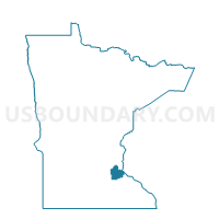
Coates Voting District, Dakota County, Minnesota
About
Outline

Summary
| Unique Area Identifier | 601746 |
| Name | Coates Voting District |
| County | Dakota County |
| State | Minnesota |
| Area (square miles) | 1.40 |
| Land Area (square miles) | 1.40 |
| Water Area (square miles) | 0.00 |
| % of Land Area | 100.00 |
| % of Water Area | 0.00 |
| Latitude of the Internal Point | 44.71593600 |
| Longtitude of the Internal Point | -93.03212350 |
Maps


Graphs
Select a template below for downloading or customizing gragh for Coates Voting District, Dakota County, Minnesota


Neighbors
Neighoring Voting District (by Name) Neighboring Voting District on the Map
- Empire Twp. Voting District, Dakota County, MN
- Rosemount P-2, Dakota County, MN
- Vermillion Twp. Voting District, Dakota County, MN
Top 10 Neighboring County Subdivision (by Population) Neighboring County Subdivision on the Map
- Rosemount city, Dakota County, MN (21,874)
- Empire township, Dakota County, MN (2,444)
- Vermillion township, Dakota County, MN (1,192)
- Coates city, Dakota County, MN (161)